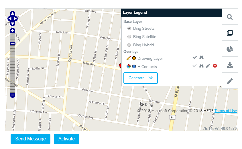
From the Global AlertLink GIS Mapping Services display, users have the option to send message or activate Plans using the Global AlertLink data objects selected in the drawing layers and query reports. Remember, the GIS Service follows the security model within Global AlertLink. If a user is not authorized to send message or does not have authority to the Global AlertLink data objects required to activate plans, add contacts, share contacts, and share resources the user will see an "Unauthorized!" error message.
- To send a message or activate a plan from GIS, select a query report and/or draw a circle/polygon to get contact records.

- Click Send Message to display the Review Map Selection screen. The contact in the Map Selection Results will be shared into a dynamic group contact folder. The name of the folder will default to Map Selection Day-Month-Year. The user can rename this folder if desired.
- Click Send Message to compose a new message.


